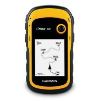
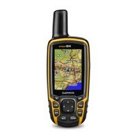
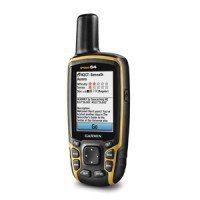
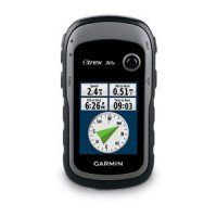
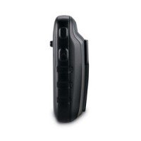
Garmin eTrex GPS
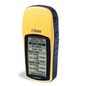
Garmin eTrex GPS receiver
- Description
Product Description
Navigation Features
– Waypoints/Icons: 500 with name and graphic symbol
– Tracks: Automatic track log; 10 saved tracks let you retrace your path in both directions
– Routes: 1 reversible route with up to 50 waypoints
– Trip computer: Current speed, average speed, time of sunrise/sunset, resetable maximum speed, trip timer, and trip distance
– Map datums: More than 100
– Position format: Lat/Lon, UTM/UPS, Maidenhead, MGRS, Loran TDs, and other grids
GPS Performance
– Receiver: differential-ready, 12 parallel channel GPS receiver continuously tracks and uses up to 12 satellites to compute and update your position
Acquisition Times:
– Warm: approx. 15 seconds
– Cold: approx. 45 seconds
– AutoLocate™: approx. 5 minutes
– Update Rate: 1 second, continuous
GPS Accuracy:
– Position: <15 meters, (49 feet) RMS
– Velocity: 0.1 knot RMS steady state
Dynamics: 6g’s
Interfaces: RS232 with NMEA 0183, RTCM 104 DGPS data format and proprietary GARMIN
Antenna: Built-in patch
Physical
– Size: 4.4″H x 2.0″W x 1.2″D (11.2 x 5.1 x 3.0 cm)
– Weight: 5.3 ounces (150 g) with batteries
– Display: 2.1″H x 1.1″W (5.4 x 2.7 cm) high-contrast LCD with bright backlighting
– Case: Waterproof to IEC 529 IPX7 standards
– Temperature range: 5°F to 158°F (-15°C to 70°C)
– Data storage: Indefinite; no memory battery required
Power
– Source: 2 AA batteries (not included)
– Battery Life: Up to 22 hours


