Leica GPS900
With its flexible, easy-to-use onboard software, Leica GPS900 is the ideal solution for a wide range of jobs including foundation and drainage work, alignment stakeout, topographic and as-built surveys. For the one-man team, Leica GPS900 is easy to setup and use.
- Description
Product Description
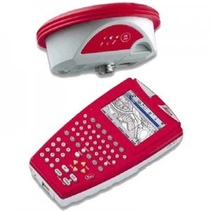
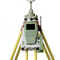
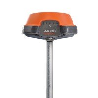
Leica RX900c Colour Controller and a Leica ATX900 GG GNSS Antenna the all-on-the-pole GPS900 RTK rover is ideal for one-person stakeout and topographic tasks.
With its flexible, easy-to-use onboard software, Leica GPS900 is the ideal solution for a wide range of jobs including foundation and drainage work, alignment stakeout, topographic and as-built surveys. For the one-man team, Leica GPS900 is easy to setup and use.
Topographic Survey
Record points with or without code and attribute information. Set criteria and measure points automatically. View the survey in the large, graphical map-view display. Use the Survey program for detail, topo, title surveys etc.
Stakeout and measure relative to lines and arcs. Enter offsets and heights. Control and Reference lines can be defined using the map-view. Set checks for quality control. Ideal for buildings, drainage, foundations etc.
Increase productivity
The GPS900 is ideal for one person stakeout and survey work as it is exceptionally easy to use. The familiar operating concept provides instant productivity.


